Maps and satellite images show where wildfires are burning and how close they are to communities.

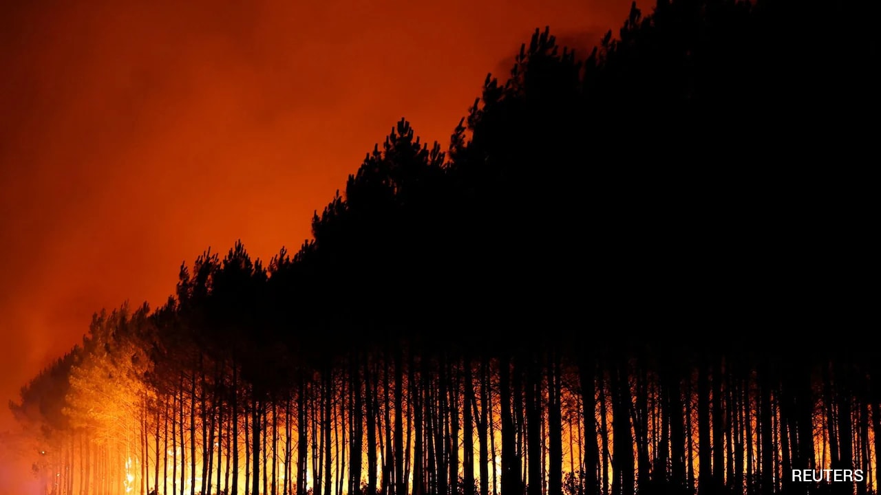
Maps and satellite images show where wildfires are burning and how close they are to communities.
This article was originally published by an external source. Read the full story at the source.
Read Full Article at Source ↗